
Tag Archives: Fire Island

Fuji X-T2 and XF 10-24mm OIS Lens – 1/420 @ f/9 – 19mm – ISO 200
Marina Sunset
Fuji X-T2 and XF 10-24mm OIS Lens – 1/50 @ f/9 – 16mm – ISO 200
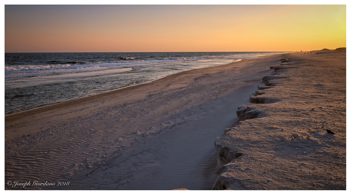
Beach Erosion

Fuji X-T2 and XF 10-24 OIS Lens – 1/1100 @ f/4 – 20mm – ISO 200
I love when the sun gets low because it adds longer shadows and accentuates textures. It adds another dimension to the image .
Sand And Shadows


Fuji X100F – 1/950 @ f/8 – ISO 200
Nicknamed the pencil this structure is actually a water tower.
Fire Island Pencil

Sand & Surf

Fuji X-T1 and XF 10-24mm OIS LM R Lens – 1/1600 @ f/5.6 – ISO 200
Golden Hour

Fujifilm X-T1 and Fujinon XF 55-200mm R OIS Lens – 1/4000 @ f/8 – 200mm – ISO 200
I was down at the beach early to catch some sunrise photos and on my way back to the car walking up the boardwalk I suddenly had a feeling I should turn around. This is what I saw shining through the vegetation on the sand dunes.
